Interactive Map
A color-coded SVG map whose regions each open editor-authored modal content — fully keyboard and screen-reader accessible.
What it does
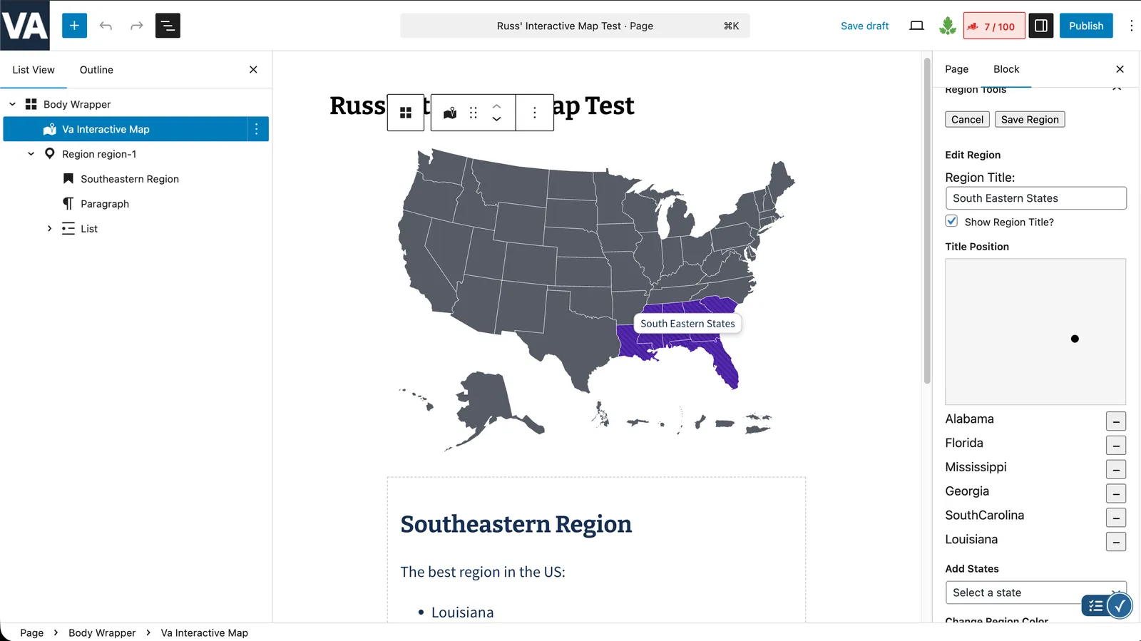
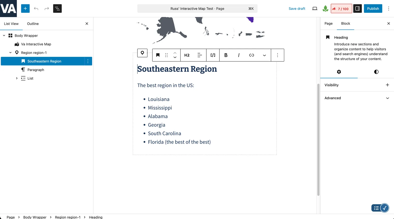
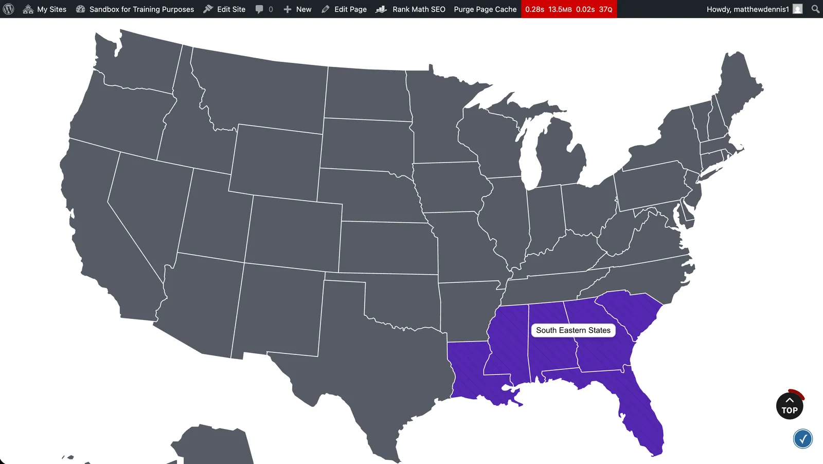
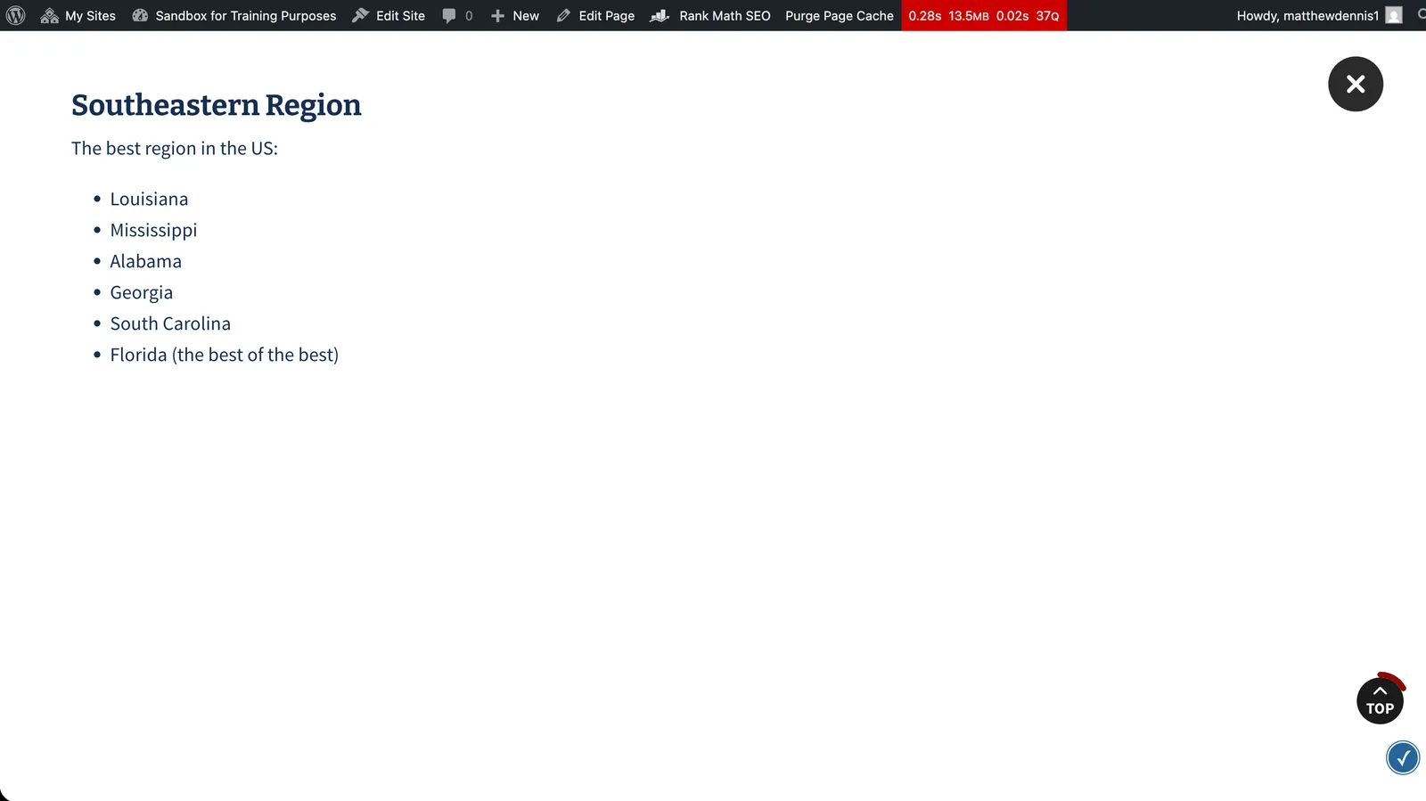
Editors group areas of a large SVG map into named regions, give each region a color and fill pattern, position its label, and build its pop-up content with ordinary blocks. On the page, visitors click or key into a region to open a modal of that region’s content.
Why it exists
Geographic and network data is far easier to grasp on a map than in a table, but most map plugins are either rigid widgets or inaccessible. This block lets a non-technical editor compose a rich, on-brand interactive map — with real block content per region — without touching code.
Engineering considerations
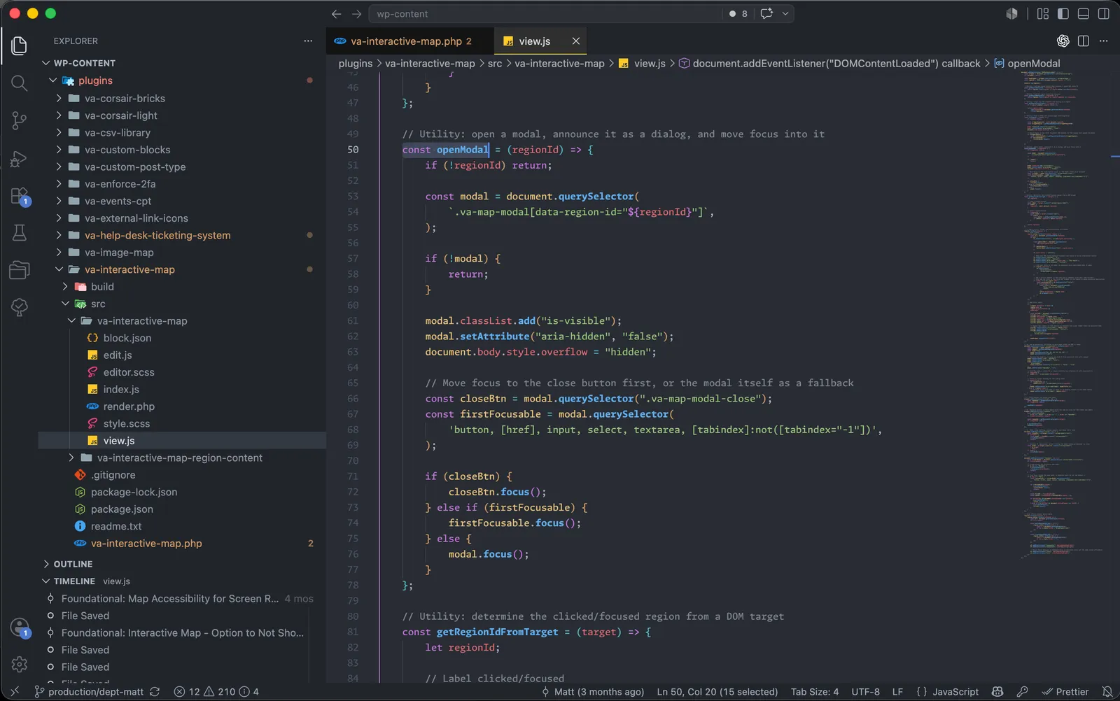
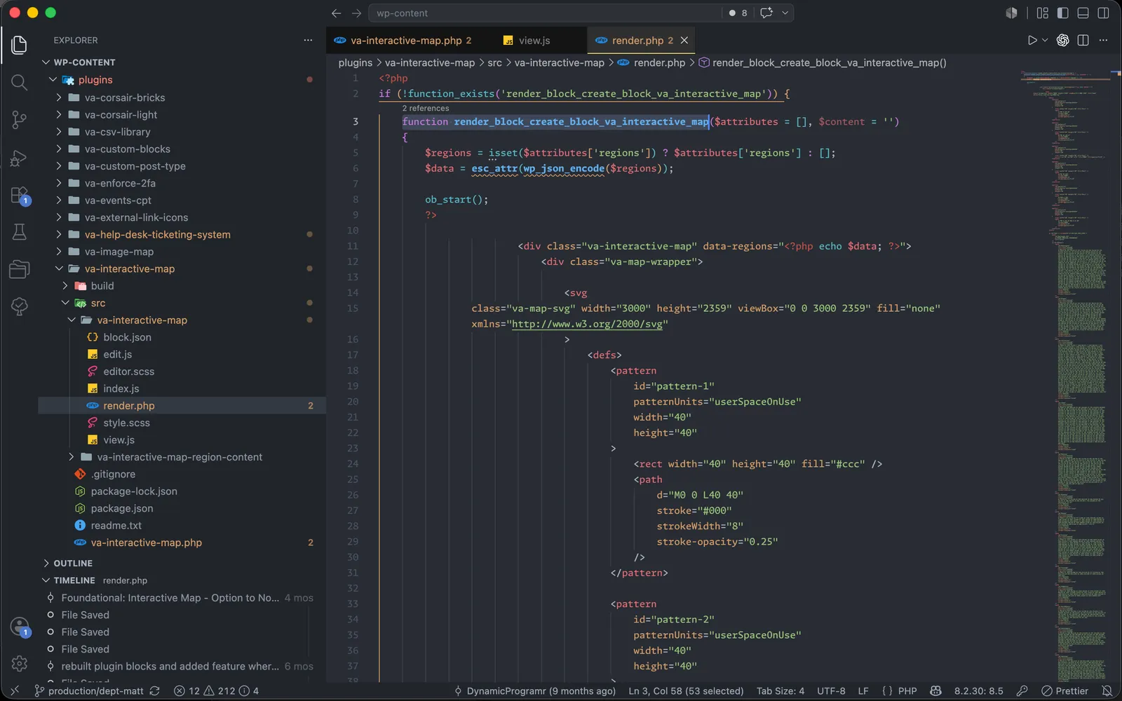
It is a dynamic block: region configuration is authored in a React editor, with a companion inner block for each region’s modal content, and rendered through render.php. The front-end script colors regions via SVG patterns and layers on the accessibility the format lacks by default — every region becomes a keyboard-focusable control with role="button" and aria-haspopup="dialog", modals are exposed as focus-trapped dialogs with Escape-to-close and focus return, and hover highlights are mirrored on keyboard focus.